Place
India · Indian-administered Kashmir / Bandipora / Gurez
Gurez
A high Himalayan valley near the Line of Control, cut off each winter when Razdan Pass closes — home to Dard-Shin communities and potato fields that once relied on underground khraw pits for seed and food.
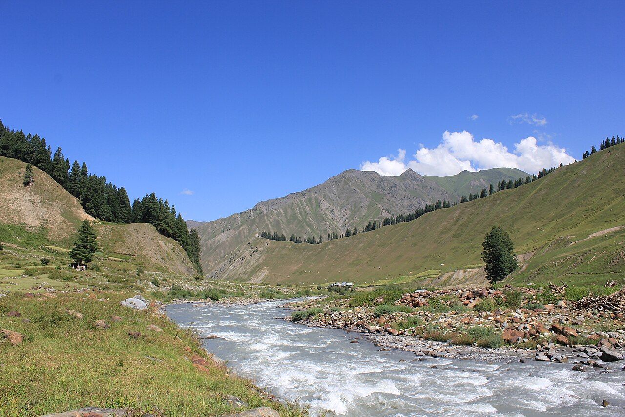
Illustrative place identifier: Gurez Valley, Bandipora district (Wikimedia Commons / Journo Mohsin). Used to identify the Gurez place card — NOT the Field Note subject, NOT Chorwan pits, not from The Guardian. · Credit: Journo Mohsin / Wikimedia Commons · Source: https://commons.wikimedia.org/wiki/File:Gurez_Valley_04.jpg